File:Leidschendam-voorburg-leidschendam.PNG

Dimensioni di questa anteprima: 800 × 511 pixel. Altre risoluzioni: 320 × 204 pixel | 640 × 409 pixel | 839 × 536 pixel.
File originale (839 × 536 pixel, dimensione del file: 19 KB, tipo MIME: image/png)
| Questo file e la sua pagina di descrizione (discussione · modifica) si trovano su Wikimedia Commons (?) |
| Descrizione | |
| Data | 3 dicembre 2006 (data di caricamento originaria) |
| Fonte | Trasferito da nl.wikipedia su Commons. |
| Autore | L'utente che ha caricato in origine il file è stato Michiel1972 di Wikipedia in olandese |
| Licenza (Riusare questo file) |
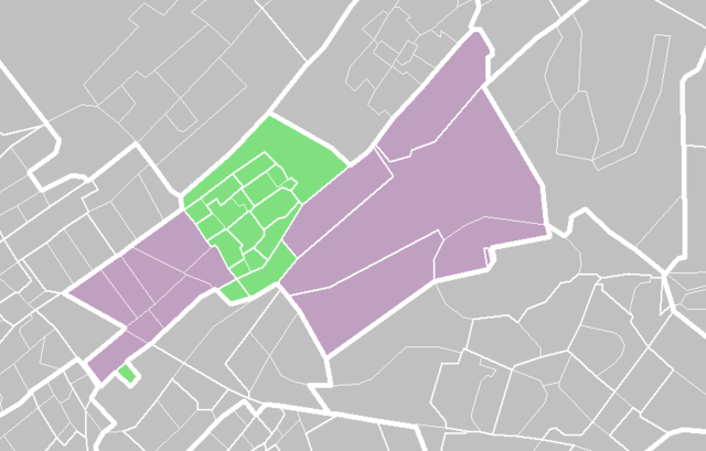
STATISTICS NETHERLANDS MAP. |
Licenza

|
Il detentore del copyright di questo file, Centraal Bureau voor de Statistiek, permette a chiunque di utilizzarlo per qualsiasi scopo, a condizione che il detentore del copyright venga riconosciuto come tale. Sono consentiti la redistribuzione, le opere derivate, la modifica, l'uso commerciale ed ogni altro uso. |
Attribuzione:
|
Registro originale del caricamento
La pagina di descrizione originale era qui. Tutti i nomi utente che seguono sono riferiti a nl.wikipedia.
- 2006-12-03 07:14 Hanhil 839×536× (19700 bytes) De wijk [[Park Leeuwenbergh]] hoort ook bij Leidschendam. Aanpassing van de kaart van Michiel1972 {{CBS-wijkkaart}}
- 2006-12-03 07:12 Hanhil 839×536× (19700 bytes) {{CBS-wijkkaart}} De wijk [[Park Leeuwenbergh]] hoort ook bij Leidschendam Aanpassing van de kaart van Michiel1972
- 2006-03-18 16:55 Michiel1972 839×536× (29077 bytes) {{CBS-wijkkaart}}
Cronologia del file
Fare clic su un gruppo data/ora per vedere il file come si presentava nel momento indicato.
| Data/Ora | Miniatura | Dimensioni | Utente | Commento | |
|---|---|---|---|---|---|
| attuale | 15:36, 13 feb 2009 | | 839 × 536 (19 KB) | BotMultichill | {{BotMoveToCommons|nl.wikipedia}} {{Information |Description={{nl|''no original description''}} |Source=Transferred from [http://nl.wikipedia.org nl.wikipedia] |Date=2006-12-03 (first version); 2006-03-18 (last version) |Author=Original uploader was [[: |
Pagine che usano questo file
La seguente pagina usa questo file:
Utilizzo globale del file
Anche i seguenti wiki usano questo file:
- Usato nelle seguenti pagine di arz.wikipedia.org:
- Usato nelle seguenti pagine di ca.wikipedia.org:
- Usato nelle seguenti pagine di nl.wikipedia.org:
- Usato nelle seguenti pagine di uk.wikipedia.org:
- Usato nelle seguenti pagine di vo.wikipedia.org:
- Usato nelle seguenti pagine di www.wikidata.org:
- Usato nelle seguenti pagine di zh-min-nan.wikipedia.org: