File:Cape Chukotsky region.PNG
Non sono disponibili versioni a risoluzione più elevata.
Cape_Chukotsky_region.PNG (766 × 507 pixel, dimensione del file: 788 KB, tipo MIME: image/png)
| Questo file e la sua pagina di descrizione (discussione · modifica) si trovano su Wikimedia Commons (?) |
Dettagli
| Descrizione |
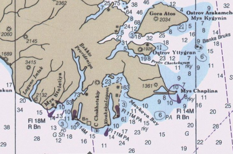
English: detail from Bering Sea nautical Chart |
| Data | |
| Fonte | Historical Maps and Charts Project http://historicalcharts.noaa.gov/tiled_jpgs_done/zoomifyURLDrivenWebPage.htm?zoomifyImagePath=16006-12-2000 |
| Autore | US Office of Coadt Survey, NOAA |
Licenza
Questa immagine o file multimediale è di pubblico dominio poiché contiene materiale proveniente della National Oceanic and Atmospheric Administration, realizzato da personale dipendente durante l'assolvimento dei propri compiti ufficiali.
|
Cronologia del file
Fare clic su un gruppo data/ora per vedere il file come si presentava nel momento indicato.
| Data/Ora | Miniatura | Dimensioni | Utente | Commento | |
|---|---|---|---|---|---|
| attuale | 20:52, 8 ott 2009 | | 766 × 507 (788 KB) | Dankarl | {{Information |Description={{en|1=detail from Bering Sea nautical Chart}} |Source=Historical Maps and Charts Project http://historicalcharts.noaa.gov/tiled_jpgs_done/zoomifyURLDrivenWebPage.htm?zoomifyImagePath=16006-12-2000 |Author=US Office of Coadt Sur |
Pagine che usano questo file
Nessuna pagina utilizza questo file.