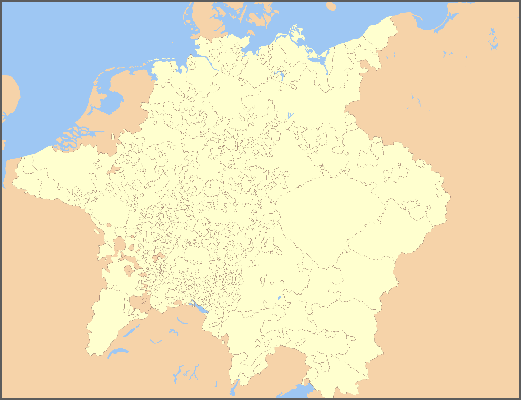
File:Holy Roman Empire 1648 blank.png
Dimensioni di questa anteprima: 782 × 600 pixel. Altre risoluzioni: 313 × 240 pixel | 626 × 480 pixel | 1 002 × 768 pixel | 1 280 × 982 pixel | 1 973 × 1 513 pixel.
File originale (1 973 × 1 513 pixel, dimensione del file: 442 KB, tipo MIME: image/png)
| Questo file e la sua pagina di descrizione (discussione · modifica) si trovano su Wikimedia Commons (?) |
Dettagli
Blank map of the Holy Roman Empire in 1648, derived from Image:Holy Roman Empire 1648.svg Yes
Licenza

|
È permesso copiare, distribuire e/o modificare questo documento in base ai termini della GNU Free Documentation License, Versione 1.2 o successive pubblicata dalla Free Software Foundation; senza alcuna sezione non modificabile, senza testo di copertina e senza testo di quarta di copertina. Una copia della licenza è inclusa nella sezione intitolata Testo della GNU Free Documentation License. |
| Questo file è disponibile in base alla licenza Creative Commons Attribuzione-Condividi allo stesso modo 3.0 Unported | ||
| ||
| Questo tag di copyright è stato aggiunto nell'ambito dell'aggiornamento della licenza dei progetti Wikimedia. |
Cronologia del file
Fare clic su un gruppo data/ora per vedere il file come si presentava nel momento indicato.
| Data/Ora | Miniatura | Dimensioni | Utente | Commento | |
|---|---|---|---|---|---|
| attuale | 19:47, 8 ott 2010 | | 1 973 × 1 513 (442 KB) | Joostik | Barony of Ravenstein; Ravenstein, North Brabant as part of the HRE |
| 04:17, 29 gen 2007 |  | 1 973 × 1 513 (664 KB) | Roke~commonswiki | enclaves | |
| 04:10, 29 gen 2007 |  | 1 973 × 1 513 (662 KB) | Roke~commonswiki | Blank map of the Holy Roman Empire in 1648, derived from Image:Holy Roman Empire 1648.svg Category:Maps of the Holy Roman Empire Category:Blank maps of Europe |
Pagine che usano questo file
Nessuna pagina utilizza questo file.
Utilizzo globale del file
Anche i seguenti wiki usano questo file:
- Usato nelle seguenti pagine di en.wikipedia.org: